The History and Pottery of a Middle Islamic Settlement in the Northwest Quarter of Jerash
View publication
Dr Don Boyer is a Research Associate and Adjunct Lecturer at The University of Western Australia. He established the Jarash Water Project in 2012 to evaluate the water management history of Gerasa (modern Jarash), the focus of his doctoral research. He has archaeological experience in Jordan and Saudi Arabia, and his geological experience spans more than 50 years. His research interests include ancient water management, aerial archaeology, geoarchaeology, palaeolandscapes, and photointerpretation.
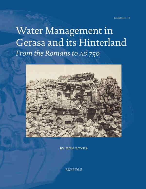
The Decapolis city of Gerasa has seen occupation since the Bronze Age but reached its zenith in the Roman to early Islamic period as a population centre and trading hub. Located in a fertile valley in the limestone foothills of the Ajlun mountains, the city benefitted from a benign climate and an excellent local water supply from karstic springs and perennial streams. By the Roman–Early Byzantine period, these water sources were harnessed and managed by extensive aqueduct and distribution networks that satisfied the broad range of water needs of both urban and rural dwellers.
This volume offers an up-to-date, comprehensive, and multidisciplinary analysis of the water management system employed in both Gerasa and its hinterland from the time of Roman occupation to the devastating earthquakes that struck the city at the end of the Umayyad period. Drawing on archaeological evidence from the author’s field research, together with a critical and detailed analysis of the evidence of water installations and the results of a radiocarbon dating study, this insightful book offers the first diachronic interpretation of Gerasa’s water distribution, setting the city in its geoarchaeological, historical, and landscape contexts, and contributing to the broader understanding of its archaeological history.
List of Illustrations
Author’s Preface
Acknowledgements
Abbreviations Used in the Text
Glossary
Chapter 1. Introduction
Volume Content
Part 1. Study Approach and Contextual Background
Chapter 2. Information Sources and Methodology
Introduction
The Study Area
Chronology and Naming Conventions
Previous Studies Related to Water Management
Water Management Studies in the Study Area
Water Management Studies in the Southern Levant
Past Field Surveys
Primary Literary and Non-Literary Sources
Secondary Literary Sources
Nineteenth-Century Sources
Post-Nineteenth-Century Sources
Visual Sources
Ground Photography
Aerial Photography
Satellite Imagery
New Field Surveys
Terrestrial Carbonate Studies
Background
Materials and Methods
Archaeometry
Overview
Radiocarbon
Dating
Chapter 3. Natural Environmental Contexts
Physiography and Geomorphology
Topography and Relief
Palaeolandscape History
Climate
Modern Climate
Palaeoclimate
Geology
Pre-Quaternary Geology
Quaternary Geology
Regolith
Soils
Colluvium
Vegetation
Hydrological Setting
Surface Hydrology
Subsurface Hydrogeology
Springs
Seismic History
Seismological Setting
Earthquake Record in Gerasa
Discussion
Chapter 4. Historical Contexts
Introduction
Surface Surveys
Settlement History
Pre-Bronze Age
Bronze Age
Iron Age
Hellenistic Period (332 bc to 64 bc)
Nabataean Period (300 bc to ad 106)
Roman Period (64 bc to ad 324)
Byzantine Period (ad 324 to 640)
Umayyad Period (ad 640 to 750)
Discussion
Part 2. The Hydraulic System
Chapter 5. Water Sources
Introduction
Surface Runoff
Impermeable Surface Runoff
Permeable Surface Runoff (Overland Flow)
Groundwater Sources
Wells
Springs
The Relationship between Water Availability and Settlement Location
Discussion
Chapter 6. Water Transport
Transportation by Natural Surface Flow
Artificial Structures Employed to Control and Harness Hillslope Runoff
Channel Flow Structures
Transportation by Spring-Fed Aqueducts
Rock-Cut Aqueducts
Aqueducts Constructed of Masonry or Field Stones
Pipelines
Aqueduct Bridges
Conduit Hydraulics
Methods Adopted to Overcome Issues Affecting Aqueduct System Design and Operation
Aqueduct Networks
Aqueduct Statistics
Upper Jarash Valley (Upper Wadi Suf ) Sector
Central Jarash Valley Sector
City Area–East Bank Sector
City Area — West Bank and Bab Amman
Southern Jarash Valley Sector
Jarash–Zarqa River Junction Sector
Majarr–Tannur Valley Sector
Control and Management of the Aqueduct Networks
General Comment on Water Rights
Control of Water Resources in the Study Area
Carbonate Sediment Lining Aqueducts
Dating of Aqueducts
Radiocarbon
Dating
Evidence for Pre-Roman Aqueduct Networks
Discussion and Conclusions
Chapter 7. Water Storage
Introduction
Reservoirs
Intramural Reservoirs
Possible Reservoir Installations
Extramural Reservoirs
Reservoirs South of the City
Storage Basins
Intramural Storage Basins
Extramural Storage Basins
Cisterns
Intramural Cisterns
Extramural Cisterns
Discussion
Chapter 8. Water Use
Private Use
Public Use
Bathhouses
Fountains
Ornamental Basins
Latrines
Ecclesiastical Use
Cultic Use
Primary Industry Water Use
Agriculture
Extraction Industries
Secondary Industry Water Use
Textiles and Leather
Watermilling
Olive Oil
Potteries
Wine Production
Metal and Glass-Working
Discussion
Part 3. The Urban Network
Chapter 9. Urban Water Infrastructure
Water Transport Installations
Extramural Aqueduct Networks Supplying the City
Aqueducts within the Western Side of the City
Aqueducts within the Eastern Side of the City
Pipelines
Water Storage, Flow Regulation, and Distribution Installations
Reservoirs and Storage Basins
Piscinae and Flow Regulation Basins
Water Distribution Installations (castella divisoria)
Drainage and Sewage Disposal Installations
First-, Second-, and Third-Order Drains
Fourth-Order Collector Drains
Sewage Disposal
Discussion
Chapter 10. The Combined Intramural Water Transport, Storage, and Distribution Network
Areas Serviced by the Main Supply Aqueducts
Methodology
Interpretation
Distribution to castella divisoria
Evolution of the Urban Water Distribution and Storage System
First Century bc/ad to ad 106
ad 106 to ad 150
Second Half of the Second Century
Third and Fourth Centuries
Fifth to the Mid-Seventh Centuries
Mid-Seventh Century to ad 750
Discussion
Changes in Urban Water Management in the Byzantine Period
Changes in the Physical Environment
Societal Changes
Changes to the Water Distribution System
Discussion
The Gerasene Water Management System in the Context of the Decapolis
Sources
Aqueducts
Storage
Hydraulics
Urban Distribution Network
Irrigation
Discussion
Chapter 11. Conclusions
Water Sources
Water Distribution and Storage
Aqueducts
Storage
Urban Water Supply and Distribution
Water Use
The Effects of Climate Change and Natural Disasters
System Management
The Impact of the Hydraulic System on Development
Concluding Remarks
Part 4. Appendices
Appendix A. Early European Visitors to Jarash
Who Recorded Water Features: 1812–1875
Appendix B. Early Aerial Photographic
Coverage of the Study Area
Appendix C. Jarash Water Project Site Database
Appendix D. Radiocarbon AMS dates
Appendix E. List of Seismic Events in Gerasa
Appendix F. Catalogue of Important Springs
Appendix G. Catalogue of Recorded Aqueducts
Appendix H. Bathhouses
Appendix I. Fountain Catalogue
Appendix J. Castellum Catalogue
Appendix K. Flow Rate Formulae
Bibliography
Index of Localities