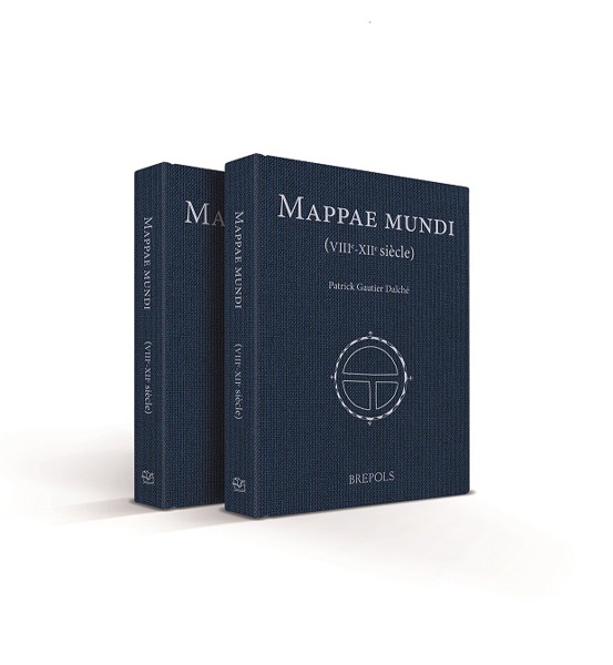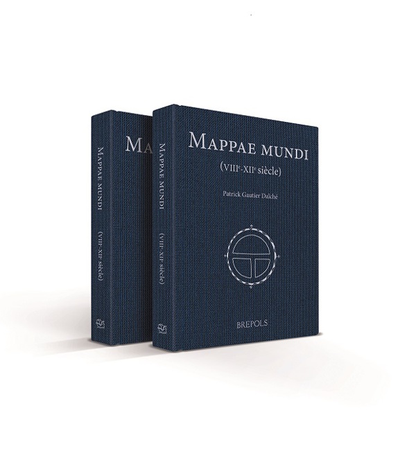
Mappae mundi (VIIIe-XIIe siècle)
Patrick Gautier Dalché
- Pages:2 vols, 1237 p.
- Size:230 x 315 mm
- Illustrations:684 col.
- Language(s):French
- Publication Year:2024
- € 625,00 EXCL. VAT RETAIL PRICE
- ISBN: 978-2-503-59724-9
- Hardback
- Available
A detailed description of hundreds of diagrams and more elaborate maps found in medieval (mainly Latin) manuscripts up to around 1200.
"Damit hat Gautier Dalché zum Abschluss seiner erfolgreichen Forscherkarriere ein unverzichtbares Meisterwerk geschaffen, dessen inhaltliche Qualität sich auch in der Schönheit des Layouts und in der erfreulichen Druckqualität wiederspiegelt. Man kann dem Autor für dieses stimulierende Geschenk nur dankbar sein. Trotz des hohen Preises sollte das Werk deshalb in keiner wissenschaftlichen Bibliothek zum Mittelalter fehlen." (Ingrid Baumgärtner, in Das Mittelalter, 30/2, 2025)
"It is simply an amazing act of collecting and systematising – and we can thank and admire Patrick Gautier Dalché for his tenacity and dedication. But, perhaps more importantly, because this work makes the detail of early medieval mapping available in its totality to scholars everywhere, it will usher in a whole new period in the study of medieval cartography." (Thomas O’Loughlin, in IMCoS Journal, 182, 2025, p. 46)
"The value of this catalogue extends, of course, far beyond the wealth of detail it presents. It gives the reader the opportunity, hitherto impossible, to view as a whole the vast majority of extant medieval world maps from before 1200. (...) Thanks to Gautier Dalché, and the two volumes of Mappae mundi, the study of medieval maps now occupies a firmer footing, with the possibilities for comparison across the corpus clearer than ever before." (Alfred Hiatt, in Imago Mundi, 77/2, 2025, p. 234)
P. Gautier Dalché est directeur de recherche émérite au Centre national de la recherche scientifique et directeur d’études émérite à l’École pratique des hautes études. Il a publié plus de 150 articles sur la représentation de l’espace, de l’Antiquité tardive au XVIe siècle ; certains ont été rassemblés en deux recueils (Variorum ; Micrologus Library). Il a publié récemment La Géographie de Ptolémée en Occident (IVe-XVIe siècle), Turnhout, Brepols, 2009 (Terrarum Orbis, 9) et dirigé le volume La Terre. Connaissance, représentations, mesure au Moyen Age, Turnhout, 2013 (L’Atelier du médiéviste, 13).
“The mappae mundi exist in scores of manuscripts and much work needs to be done before secure generalizations may be based upon them”, wrote the English historian Denys Hay in 1957. This book aims to contribute to this study by describing in detail the hundreds of diagrams and more elaborate maps found in medieval (mainly Latin) manuscripts up to around 1200. Most documents have been examined directly, some having been described from microfilm or electronic reproductions. Each document, far from being considered in isolation, is described in terms of its materiality (how the drawings were made, reprints and corrections, etc.), its codicological context (place of the drawing in the economy of the codex, rubrication, etc.) and its intellectual context (illustrated texts, place of the drawing on the page and in the codex as a whole). Taking these data into account will enable specialists to define precisely the reasons that
contributed to the creation of these drawings. Each entry is accompanied by a reproduction of the map in large format to allow for comparisons and more in-depth study, making this book an indispensable resource for all related research.
The publication Mappae mundi by Patrick Gautier Dalché has received the Duchalais Prize 2025 from the Académie des Inscriptions et Belles-Lettres.
« Les mappae mundi existent dans un grand nombre de manuscrits, et beaucoup de travail doit être accompli avant que des généralisations certaines puissent être fondées sur elles », écrivait l’historien anglais Denys Hay en 1957. Cet ouvrage entend contribuer à ce programme en décrivant dans le détail les centaines de diagrammes et de cartes plus développées que l’on rencontre dans les manuscrits médiévaux (principalement latins) jusqu’aux environs de 1200. La plupart des témoins ont été examinés directement, certains ayant été décrits à partir de microfilms ou de reproductions électroniques. Chaque témoin, loin d’être considéré isolément, est décrit dans sa matérialité (façon dont les dessins ont été réalisés, repentirs et corrections...), dans son contexte codicologique (place du dessin dans l’économie du codex, rubrication...) et intellectuelle (textes illustrés, place du dessin dans la page et dans l’ensemble du codex). La prise en compte de ces données permettra aux spécialistes de définir précisément les raisons qui ont contribué à la réalisation de ces dessins. De très nombreuses reproductions permettent des comparaisons et des recherches plus approfondies, faisant de l’ouvrage un instrument de travail indispensable.
La publication Mappae mundi de Patrick Gautier Dalché a reçu le prix Duchalais 2025 de l'Académie des Inscriptions et Belles-Lettres.

