Fra Mauro's World Map
View publication
This stimulating book offers a broad view of the history of representations of the Persian Gulf in European cartography.
"Historical Atlas of the Persian Gulf will undoubtly emerge as a major resource tool for historians and historical geographers." (Colin P. Mitchell, in: Itinerario. International Journal of the History of European Expansion and Global Interaction, 31, 2007)
"This stimulating book offers a broad view of the history of representations of the Persian Gulf in European cartography. Through the geographic scope covered and the number of reproduced materials, it complements other publications. (...) The graphic quality of the volume is irreprochable." (F. Roque de Oliveira in: e-Journal of Portuguese History, Vol. 5, number 2, Winter 2007)
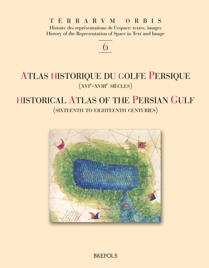
The Historical Atlas of the Persian Gulf is a joint initiative of the École Pratique des Hautes Études in Paris, the University of Tehran, and the Documentation Centre of the Ministry of Foreign Affairs of Iran. The aim of this trilingual (French, English and Persian) publication is to trace the evolution of the cartographical representations of the Gulf between 1500 and 1750.
About a hundred printed and manuscript maps from libraries and archives all over Europe, the United States and Iran have been gathered, some of them being published for the first time. The maps and charts are presented in five sections dedicated to Portuguese, Dutch, French, English and German cartography. Each item is published with enlarged detail reproductions showing the Gulf, and accompanied by brief commentaries as well as transcriptions of the place names and legends. The authors make numerous suggestions as to how the maps and charts developed in the context of international scientific exchange during the Early Modern age.
Hence, the Atlas shows new perspectives on the genealogy of Gulf maps and provides an excellent working tool for future research on the cartography and the history of one of the World’s great strategic areas.
Coordinator: Zoltán Biedermann. Further contributors: Elio Brancaforte, Patrick Gautier Dalché
L’Atlas historique du golfe Persique est une initiative conjointe de l’École pratique des hautes études (Paris), de l’Université de Téhéran et du Centre de documentation du Ministère des affaires étrangères d’Iran. L’objectif de cette publication trilingue (français, anglais et persan) est de retracer l’évolution des représentations du golfe entre 1500 et 1750.
Une centaine de cartes imprimées et manuscrites provenant de bibliothèques et d’archives d’Europe, des États-Unis et d’Iran ont été rassemblées, dont certaines publiées pour la première fois. Elles sont présentées en cinq sections consacrées aux cartographies portugaise, hollandaise, française, anglaise et allemande. Chacune d’elles est publiée avec une reproduction agrandie de la partie montrant le golfe et accompagnée d’un bref commentaire ainsi que de la transcription des toponymes et des légendes. Les contributions de plusieurs spécialistes étudient en détail le développement de la cartographie dans le contexte des échanges scientifiques de l’époque moderne.
Mettant ainsi en évidence de nouvelles perspectives sur la généalogie des cartes du golfe, l’Atlas constitue un outil de travail indispensable pour de futures recherches sur l’histoire de l’une des plus importantes zones stratégiques du monde.